Choosing the best Map and Navigation app is one of the most tasks according to a typical traveler or driver having an Android phone. The Android smartphones launching nowadays are pre-installed with Google Maps by default. But many of us don’t like the way it interacts or just getting bored with its functions.So we have just chosen five best Map and Navigation apps from Play Store. Hope the entire article will help you to make a choice between many apps to `navigate you to the particular destination. Let’s start the journey.
Maps, Navigation & Directions
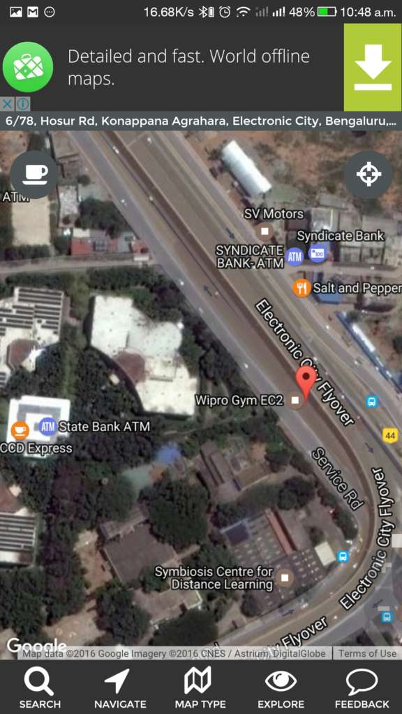
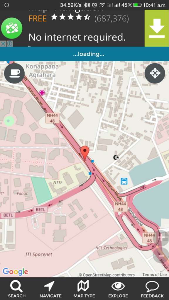
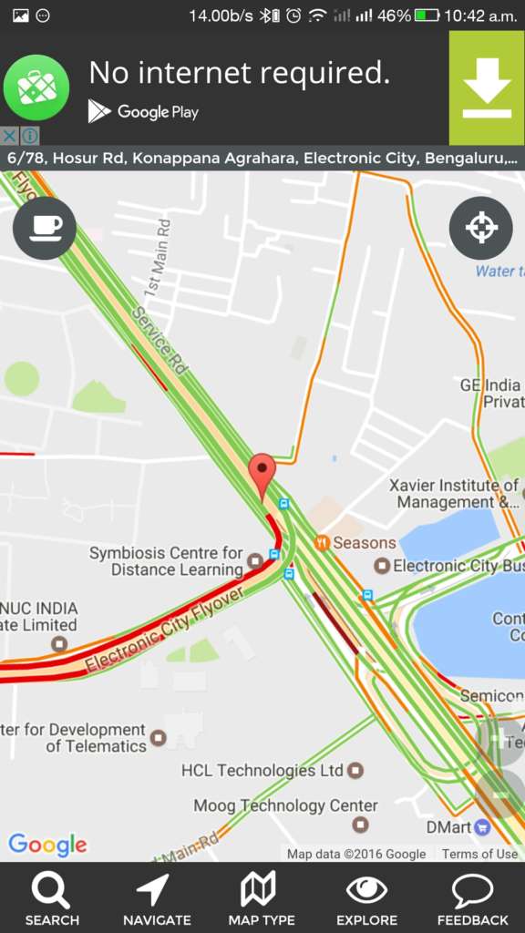
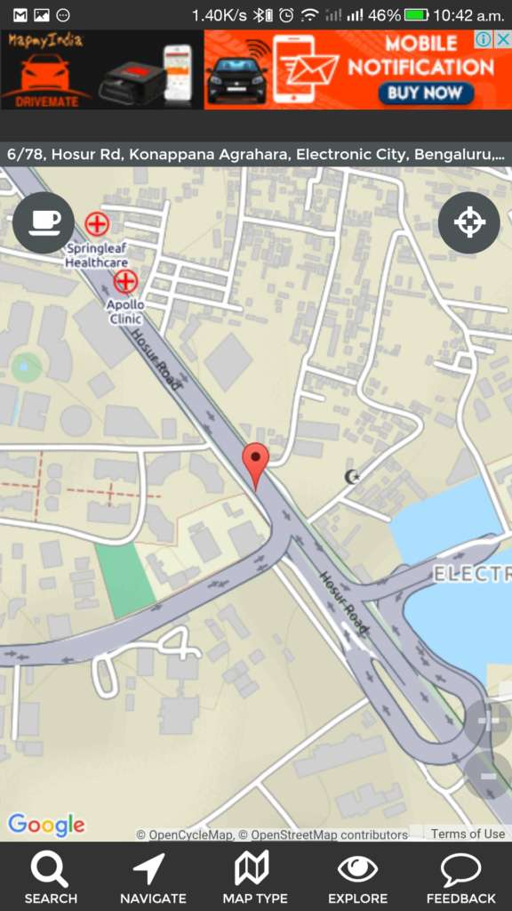
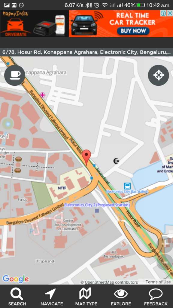
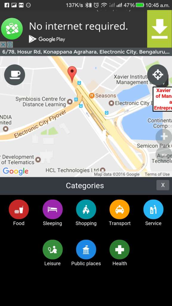
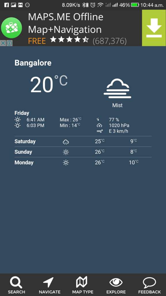
Maps, Navigation & Directions App, is developed by ‘we Love Maps’ which functions like almost every typical GPS Apps. The App uses Databases from GoogleMap and OpenStreetMap (OSM) to define the locations and routes. The app shows the map in many ways that we could use it even if we are walking, hiking or in Bus. The app has many features like:
- Route Planner
- Traffic Map
- Public Transport Map
- Cycling Map
- Walking Map
- Hiking Map
- Satellite View
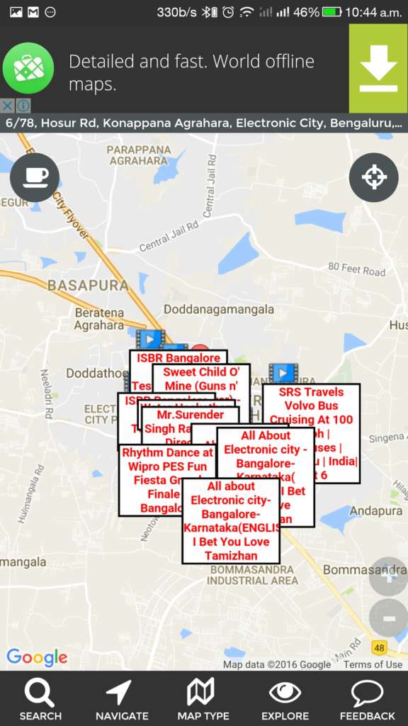
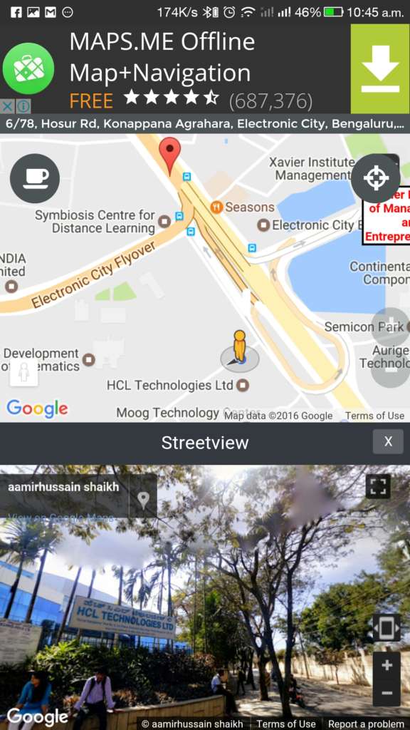
- Photos, Videos, Street View Live Webcam and Wiki, related to the place from Map
The app can be used to find nearby tourists spots, gas stations, Addresses, ZIP/PIN Codes, hospitals and many more places around you. But among with these mind blowing features, the worse thing is that the app has some ads on 1/4 of the screen on top and full-screen ads sometimes.
Why Maps, Navigation & Directions is #1?
The Maps, Navigation & Directions App is capable of showing various details about a place and spots around it. It lists the pictures from the internet, Youtube videos, descriptions from Wikipedia, Google’s Street view and even the live condition of the location through webcams. All these features are enclosed in a single app, and you don’t have to go PlayStore again to download other apps like StreetView.
Waze – GPS, Maps & Traffic
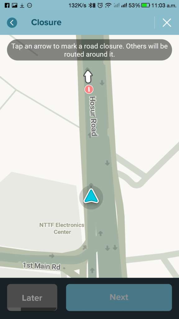
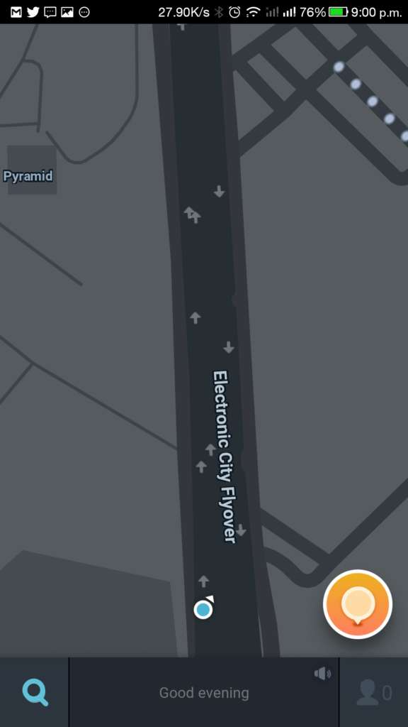
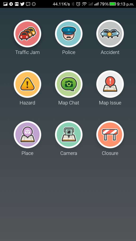
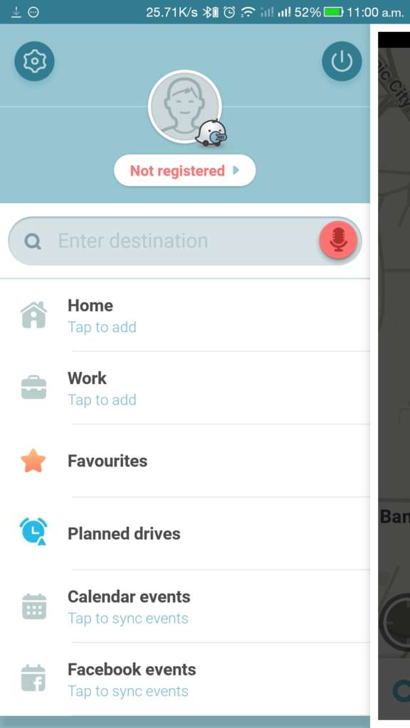
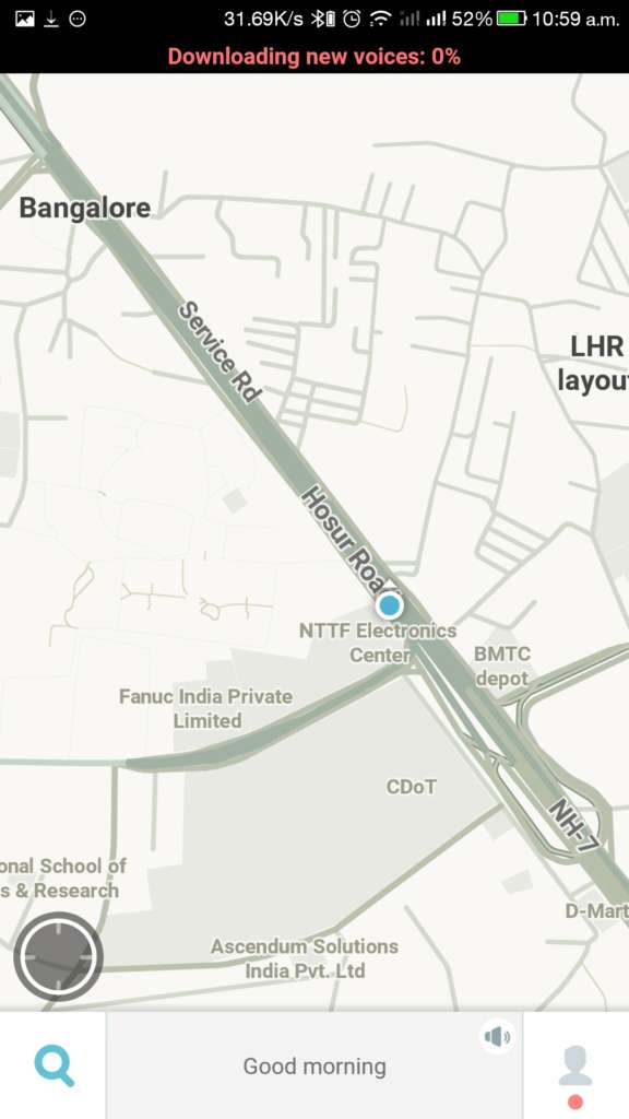
Waze is an awesome GPS App which works as a Social Platform for Map seekers. After logging in, the user can join with the driver’s community near to his place and can share and grab any traffic conditions around him or any other areas wishing to drive. The app is mainly aimed at drivers so that they could make the driving easier than ever before. The app also navigates to the given location. You can report any issues, accidents or eve Police presence in your locality. Through the Waze app, you can share about the Traffic Jam, Police, Accidents, hazards, map issues, CCTV Cameras, Road Closures
Through the Waze app, you can share about the Traffic Jam, Police, Accidents, hazards, map issues, CCTV Cameras, Road Closures, etc. In each option, there are sub-options to report about the effect of the incident (from low to high, etc.frinds) We can also plan drives to the wished location; any friends can help us, or we can seek ourselves how the situation of the site is lively through this world’s largest Navigation community.
HERE WeGo
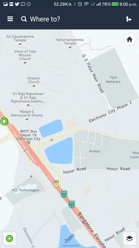
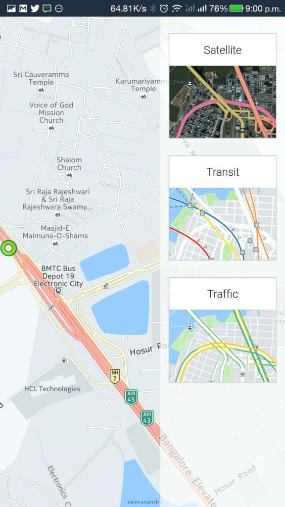
HERE WeGo is the Android version of Nokia Here Maps, which had been in old premium Nokia smartphones and ended up lately. The App is so straightforward and easy to use, just like the old HERE Maps. As a navigational app, HERE WeGo is a successful epics having only a few controllers to view and identify clearly at a glance. As like before, we can sign in the HERE account to sync quickly. We can download the Maps for offline usage without internet, and can be seen in three different views – Map, Transit, and Traffic.
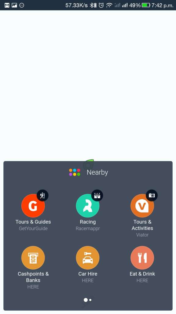
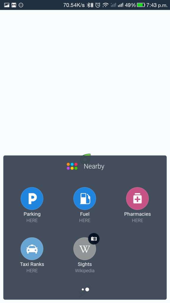
HERE WeGo also provides a Nearby option to find spots near to the location including Tours & Guides, Racing Events, Activities, Banks, ATMs, Hotels, Parking, Car Hiring, Fuel, Pharmaceuticals and Taxi Ranks. The app also shows sights and descriptions from Wikipedia.
Sygic – GPS, Navigation and Maps
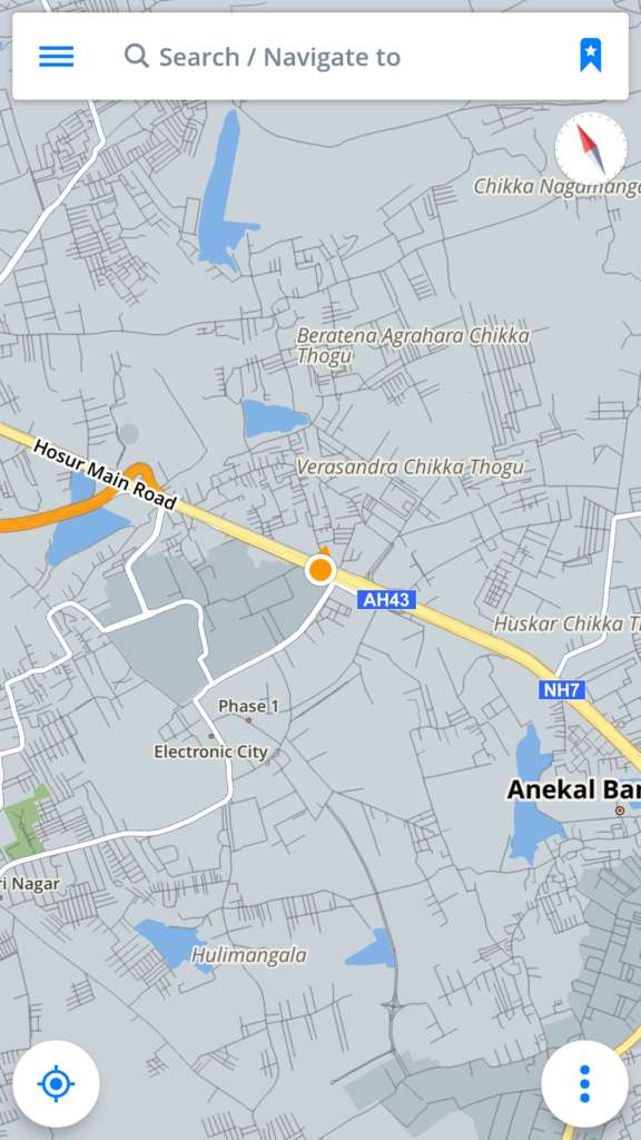
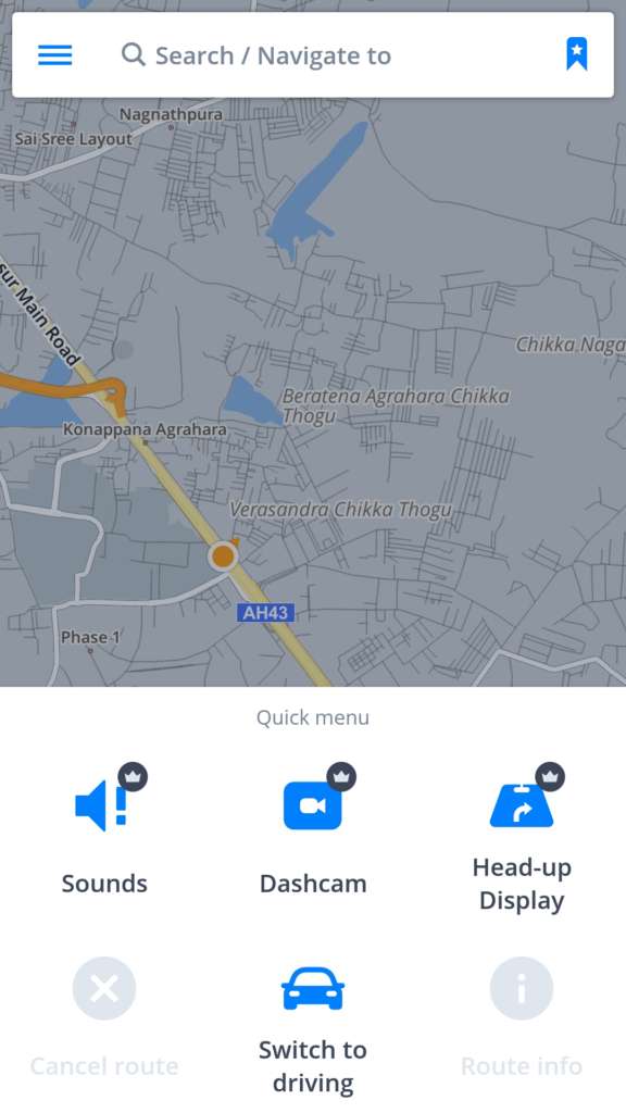
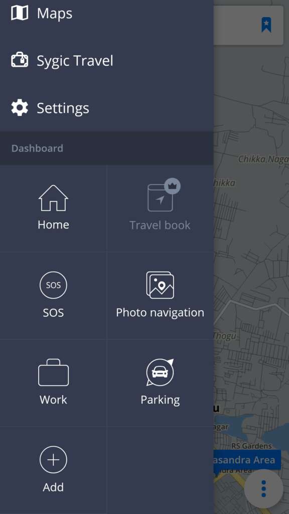
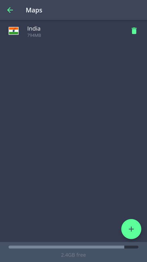
Sygic acts as both online and a complete offline Map, and it has many advanced features. In Sygic, we can plan trip routes and share with friends to let them know about our better plannings. We can find our location and navigate to places without internet connections. But with the internet connection, we can see the route traffics and police radar/camera presence. The app also suggests about the parking spots, cheapest fuel stations and tourists spots nearby. From the first time when opening app its asks about downloading the complete Map of the country where you lives. So, no need to worry about the next time when driving without any idea bout routes.
The Sygic app has some amazing features like Heads up display and Dashcam. But these features need the subscription which is an in-app purchase. The heads-up display feature is really worth to buy. It shows the route in reverse, white on black background – so that we can put it on the dashboard near to windshield. The path will be displayed like a Hologram on the windshield with a clear direction and Voice Assistance. The app also warns about the speed limits, Cops, Cameras, Lane traffics and Toll Roads and all.
Google Maps
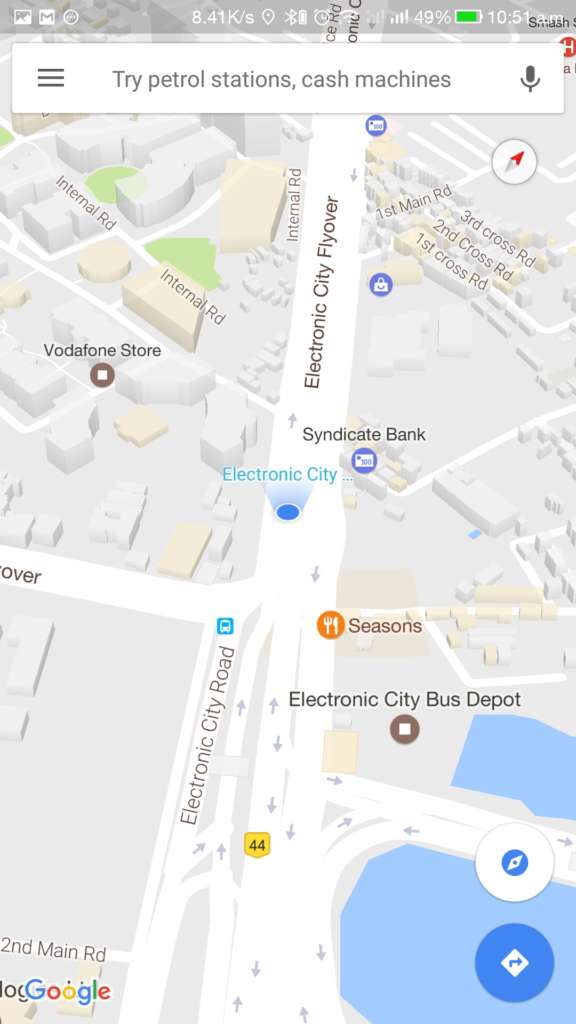
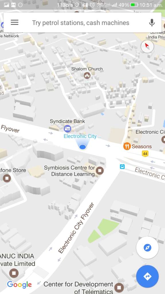
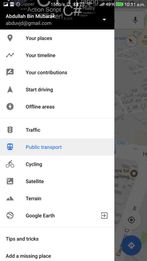
I think writing about Google Map doesn’t need an introduction to you to get started. Every Android smartphone user might have used this App at least for once. When the matter comes to Maps and routes, everybody says “Google Maps,” that’s quite common. But we’ve got our guy in the fifth position, doesn’t mean it is bad, but others are better than it. The Maps needs Google account to be logged in. It stores the places and routes wherever you passes through. They can be seen, edited and deleted from the timeline option.
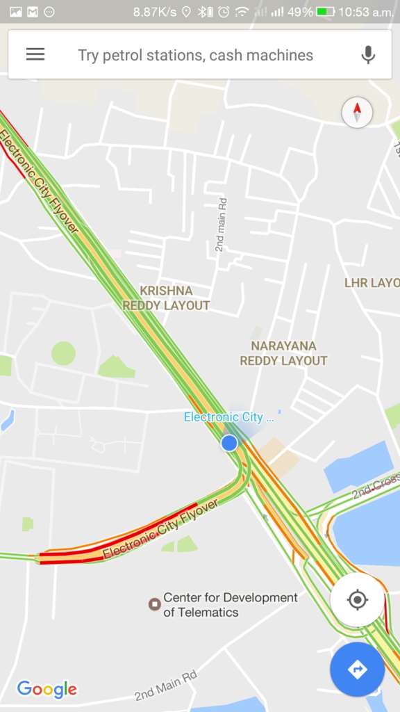
The Google Maps also provides a feature to download Map to offline. We can also contribute to Google Map to make it better and correct the errors. It also shows Traffic, Cycling and Public Trasport status and Satellite, Terrain views. Google’s “Google Earth” and “Street View” apps can be used with Google Maps, but need to download them from Play Store separately. The Tips and Tricks option give you better guidance to use Google Maps effectively.
We hope the article helped you to get the right idea about the navigation App which suits you. Comment your thoughts!

